How did the London Tube Map Came About?
Anyone who has ever travelled on the London Underground (affectionately known as the Tube), knows that it is relatively easy to travel from one station to the other. This is mainly thanks to the intuitive map which can be found at every station and on every train.
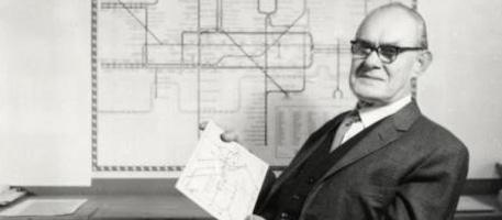
It wasn’t always like this. The colourful map as we know it today was first conceived in the early 1930s by Harry Beck, a draughtsman working for the underground train company.
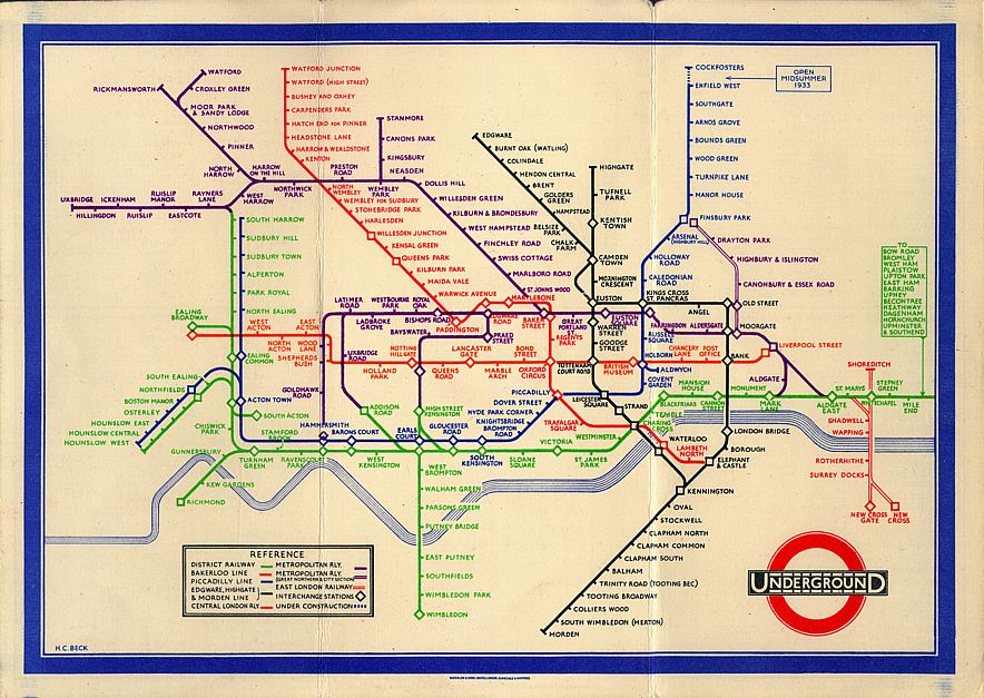
The original Beck map designed in 1933 (Courtesy of Wikimedia Commons)
Before he had his brainwave, the maps were geographical, superimposed on the actual map of London. This was confusing, especially since a large part of the network ran underground, so most commuters did not care how the track twisted and turned, but rather where the destination was. Therefore Beck took inspiration from electricity circuits depicting the various lines in different colours. He even used various shapes to distinguish between interchange stations and other “normal” stations with no connecting exchanges.
As the Underground network was developed, enlarged and tweaked, the map changed almost constantly. Beck’s maps were shunned in the middle of the 20th century, and he fought tooth and nail to be recognised as the original artist. After decades of being in the shadows, Beck’s name has again resurfaced on each and every map credits him for the original idea.
